GIS Survey in mumbai
Precision Mapping
We deliver centimeter-level accuracy using advanced geospatial technologies, helping clients make informed decisions based on real-world terrain data.
Tech-Driven Approach
From UAVs to LiDAR and satellite imagery, we use cutting-edge tools for capturing and analyzing spatial information in real time.
Versatile Applications
Whether it’s land development, environmental assessments, or urban planning, our GIS surveys adapt to any sector-specific need.
Client-Focused Delivery
We tailor every survey to your project goals, offering clear reports, digital maps, and ongoing support throughout your planning and implementation phase.

Topographic Mapping
Applications: Site analysis, slope evaluation, and infrastructure design
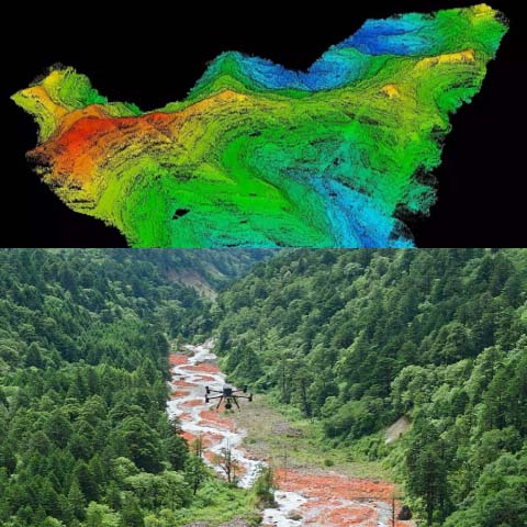
Technology Used: UAV photogrammetry, LiDAR
Output Formats: Contour maps, DEMs, 3D terrain models
- Accuracy Level: Sub-meter accuracy guaranteed

Urban Utility Mapping
Applications: Smart city planning, asset management
Technology Used: Differential GPS, GIS software
Output Formats: Layered utility maps, GIS shapefiles
Specialized Support: For AMRUT and Swachh Bharat Mission

3D City & Infrastructure Modeling
Applications: Fly-through visualizations, heritage documentation
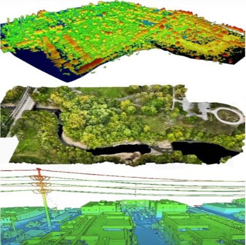
Technology Used: Drone-based 3D photogrammetry, point cloud modeling
Output Formats: BIM-compatible models, textured 3D meshes
Use Cases: Urban infill planning, Smart City proposals

Land Parcel & Cadastral Mapping
Applications: Property disputes, TP Scheme drafting
Technology Used: Total station, DGPS, GIS digitization
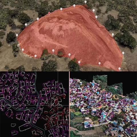
Output Formats: Plot boundaries, GIS-based land ownership maps
Compliance: Adheres to State Revenue Department standards
